
Tracing Apple Valley Streets
An address-led Apple Valley street directory search starts with land, then adds a time label. Dakota County's property record identifies the parcel, its site address, legal description, and tax owner. Its GIS layers show where that parcel sits beside others. The recorder's chain can document ownership transfers. Historical telephone books, newspapers, census schedules, or a specific municipal filing can add a person or household connection for a known date. None of those sources alone makes a complete list of current occupants.
Use the same address spelling throughout the first pass. If the modern address does not surface in an older record, preserve the PID and legal description before expanding the search. Those stable property keys are often more useful than a street label that changed with a subdivision or municipal history. The order below keeps the street search grounded in what each record can prove.
- Enter the house number and street in Dakota County Property Information, then save the PID, site address, municipality, owner, and legal description.
- Use the parcel map to identify the target polygon and nearby site addresses. A shared edge establishes adjacency, not a relationship between people.
- Follow the PID or legal description to recorded documents when the question is about a transfer, plat, or earlier owner.
- Use MNVotes only for a controlled individual registration-status question, not to build a street roster.
- For a former household, pair a dated telephone-book entry with a census, newspaper, DCHS index, or deed.
Apple Valley Address Fields
Dakota County's Property Information help page explains the search behind the street directory. It accepts a full or partial house number and street, or a 12-character Parcel ID with or without dashes. A partial address can return more than one candidate, so select the parcel before copying a name or mailing address. The result has separate Property Information, Tax Information, and Building Information panels. Property Details can create a printable PDF and may link to a tax statement or subdivision plat.
The property panel can show the owner, owner address, municipality, tax description, school district, and watershed. Tax panels can show current or prior tax information, special assessments, and homestead information. Building panels can show year built, bedroom and bathroom counts, and square footage. Those are assessor characteristics, not a list of people who live on the street.
| Search control | Apple Valley street use |
|---|---|
| Address / street | Enter a full or partial house number and street to get candidate parcels. |
| Parcel ID / PID | Use the 12-character parcel identifier to reopen a known record. |
| Layers and Basemap | Change the map view and turn available overlays on or off. |
| Property Details | Produce a printable property PDF and follow available plat or tax links. |
The county's address-search help is shown here before a search is run on a particular property.
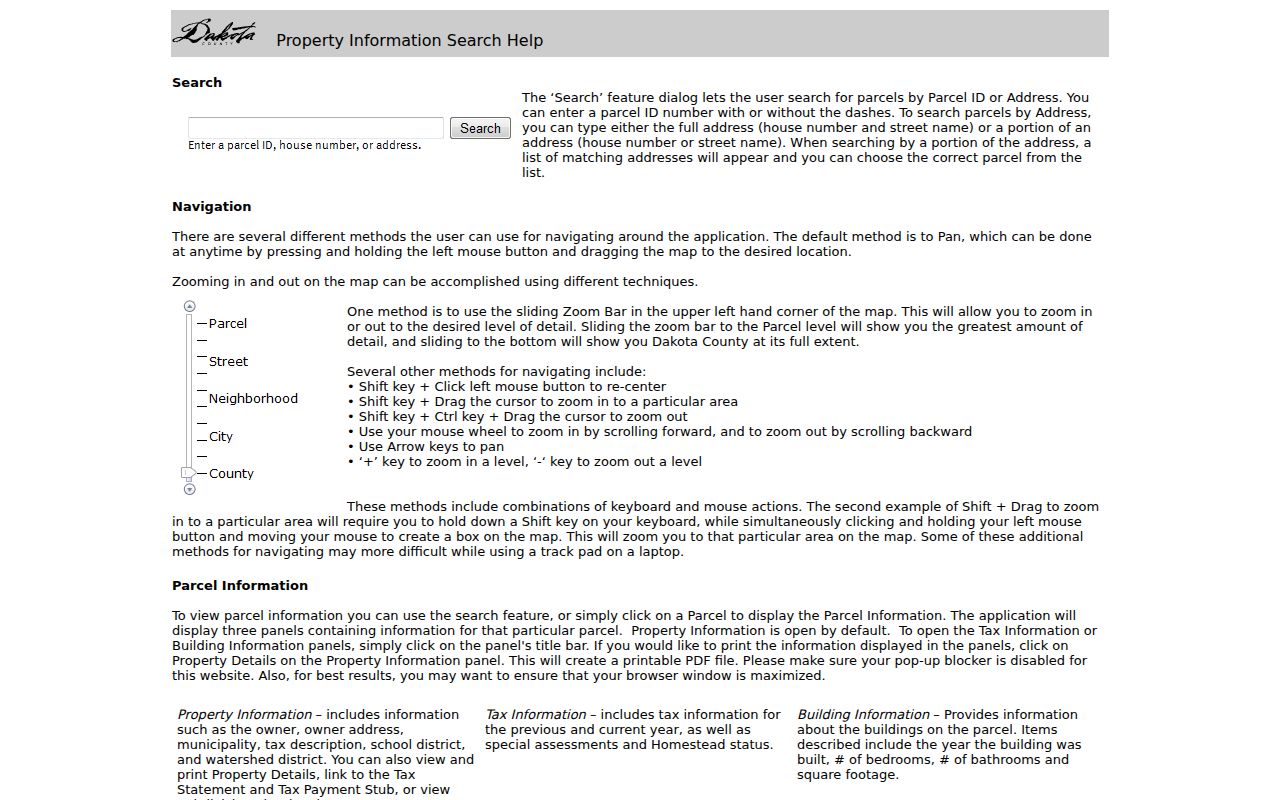
The controls show why a street query should be checked against the selected parcel instead of relying on a text match alone.
Apple Valley Parcel Boundaries
A street directory becomes more precise once the target parcel is located on the county GIS map. The official property-search service exposes fields such as Parcel ID or TAXPIN, full name, building number, site address, City State ZIP, and update date. The companion tax-parcel polygon layer supplies parcel geometry with TAXPIN and SITEADDRESS fields. Locate the target polygon, inspect its shared boundaries, then click a nearby polygon and open that parcel's own property card.
That process builds an address list around the map feature, not a people list. A polygon can touch another parcel even when owners have no connection. Owner names and owner mailing addresses may be separate from the site. A map field with a city, state, and ZIP describes the property record, not a promise about a person's mailing address. The county's public GIS terminals at the Western Service Center are an in-person fallback when the map needs closer review.
Dakota County's tax-parcel GIS layer exposes the geometry and fields that support adjacent-parcel review.
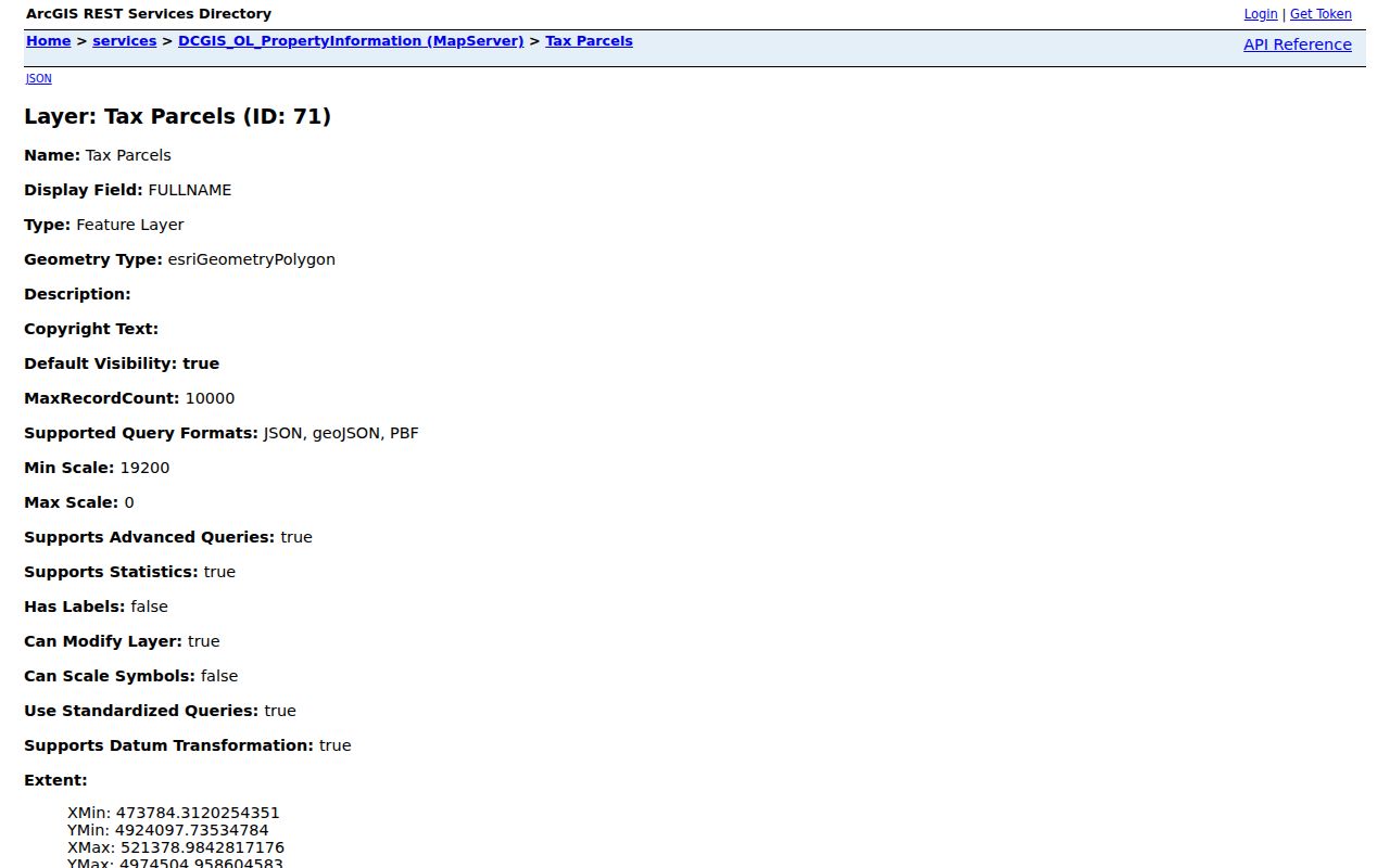
The layer is useful for comparing parcel boundaries and site addresses, while the individual property card supplies the tax-owner context.
Apple Valley Deed Addresses
For a street-by-street ownership trail, the legal description is the bridge from the parcel card to the recorded instrument. Dakota County RecordEASE separates Abstract and Torrens paths. Its August 2026 landing page said the Abstract computer index reaches back to July 8, 1993. The county also reports that Book/Page and document-number ranges are digitized, subject to notices about missing or incomplete records. Online search and document images require an account or subscription, while county copies and staff channels remain separate.
Search the present owner as grantee, then record the document number, recording date, instrument type, legal description, book/page or tract reference, and grantor and grantee names. The grantor transferred an interest; the grantee received it. Search the prior grantor as a later grantee to work backward. A street address may change or disappear in older material, which is why the legal description and plats are more durable keys.
The RecordEASE landing page identifies the two index systems and the account-based access route.
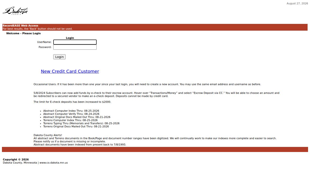
The login surface shows why a free property-card result and a recorded-document image should not be described as the same level of access.
- Parcel
- A defined land unit identified in the county tax and map system.
- Situs address
- The address where the parcel is located, distinct from the owner mailing address.
- Plat
- A recorded map that can connect a lot or subdivision to the current parcel.
- Legal description
- The land description carried through recorded instruments when a street address is too new or imprecise.
Apple Valley Street Records
Several record systems can be searched by an address or connected to one after a parcel is identified. They should not be merged into one answer. The property card answers ownership and tax questions. GIS shows the mapped parcel. RecordEASE records legal instrument parties. Historical telephone books show printed subscribers or household heads for specific editions. City records may have a public filing if the right department holds it. A narrow request under Minnesota Government Data Practices Act Chapter 13 can seek an existing public file, but cannot require the government to create a street-by-street resident list.
| Address record | Custodian | Street connection | Access |
|---|---|---|---|
| Property Information | Dakota County | PID, site, owner, tax and building panels | Free address or PID portal |
| Tax-parcel map | Dakota County GIS | Parcel shape, TAXPIN, site address, nearby polygons | Free map service and local terminals |
| Recorded documents | Dakota County RecordEASE | Parties, date, instrument, legal description | Subscription, copies, or county channel |
| Telephone directories | MNHS | Dated subscriber and address entries | Finding aid, reading room, or research request |
| City filing | Apple Valley department | Specific permit, code, meeting, or police record | Department route or Chapter 13 request |
Note: A record may name an owner, a party, a subscriber, or a requester, and those roles should never be silently converted into an occupant claim.
Apple Valley Before 1969
Older street research needs a different local label. Apple Valley was part of Lebanon Township, and suburban development followed after 1955. Residents voted in 1968 to incorporate the Town of Lebanon as the Village of Apple Valley; village officials began work on January 1, 1969. Apple Valley became a statutory city on January 1, 1974. A person or property missing under the modern city name may be filed under Lebanon Township, Town of Lebanon, or Village of Apple Valley instead.
The modern street can also be younger than the land beneath it. Early subdivision growth and platting may leave a lot, block, section, or rural-delivery reference in the earlier record. Dakota County's map catalog and plat books help connect that legal geography with a current parcel. No verified citywide street-renumbering table or comprehensive historical street-name index was located, so it is better to test locality labels and legal descriptions than assume one old-number conversion exists.
Apple Valley Street History
MNHS's Dakota County telephone-directory finding aid lists verified Apple Valley print and yellow-page holdings from 1969 through 1981. A printed white-page entry can show a name, address, and telephone number for that edition, while a yellow-page listing is a business category. The list is a shelf locator rather than proof of a complete city directory run, and no verified Apple Valley reverse or criss-cross series was found. Ask MNHS staff to confirm the particular city, year, and physical item before making a trip or request.
A historical result is strongest when paired with another dated record. A directory subscriber may be compared with a deed, a census schedule, a DCHS newspaper item, or a 1918 registration-index row. For the shelf details and research-service choices, use the Apple Valley city directory collections instead of treating the street directory as a substitute for the historical archive.
Apple Valley Voter Limits
MNVotes is a personal registration-status lookup with a name, date of birth, and address path. It is not a public street-browse tool. Minnesota Statutes section 201.091 allows a qualifying requester to obtain a public voter list only with identification and a signed lawful-use statement for an election, political, or law-enforcement purpose. The law restricts internet publication and unrestricted reuse of that list. It also excludes exact dates of birth, identification numbers, and private party-choice data.
Safe at Home participants and eligible voter-withholding requests add important safety limits. A missing registration result does not prove that no person lives at an address. It can reflect a changed name, changed address, delayed processing, spelling problem, eligibility rule, or protected information. Treat the voter system as one tightly controlled record, not a shortcut around those protections.
Apple Valley Postal Boundaries
The verified ZIP serving Apple Valley in the research is 55124. USPS identifies Saint Paul as the preferred postal locality and accepts Apple Valley, while Dakota County prefers Apple Valley in its own address points. That can create a false negative when a directory, form, or postal record was filed under a different locality label. Search both terms when the address route depends on postal wording, then check county GIS for the municipality.
A ZIP code is delivery geography, not a city boundary. It can disagree with a precinct, school district, parcel municipality, or the older Lebanon Township description. The detailed postal fields and address-validation workflow are kept on the ZIP Code Directory, where the purpose is to confirm delivery geography rather than infer a household.
Apple Valley Street Limits
An Apple Valley street directory cannot establish every member of a household, a current occupant, a private address, or the reason someone appears in a record. A tax owner can live elsewhere or use an entity. A telephone listing is historical and can omit people. A voter search has controlled access. Vital records, restricted court matters, protected-person information, and most driver and vehicle application data have their own privacy limits. An address should never be expanded into a profile by filling gaps from unrelated sources.
Lawful use. Apple Valley street records are for lawful personal research and local history. Using addresses or record fragments to stalk, harass, or intimidate a person can violate Minnesota law.